
Where Nature, Geography, and Cities Converge
Urban Development Framework
Urban Development Grounded in Nature and Geography
Urban development begins with a clear understanding of place.
At HARC, we view nature and geography as the foundation of urban development, where natural systems, spatial structure, and human activities are integrated as one interconnected framework.
Cities are shaped by their geographical indicators — topography, natural landscapes, central elevation, water management systems, and river flow patterns. These elements define how urban areas grow, function, and sustain life over time. Recognizing and working with these conditions allows development to respond appropriately to its physical environment rather than overriding it.
Understanding geography is also essential to reducing risks from natural disasters, such as floods, storms, and earthquakes. Urban planning that acknowledges natural forces can enhance resilience, protect communities, and support long-term safety.
Urban systems must balance the relationship between green and built environments. Green areas connected to agriculture, along with strong urban-rural linkages, play a vital role in food systems, ecological stability, and regional sustainability.
Technology serves as a critical tool to support this integrated approach. Digital applications, digital twin systems, environmental data, PM2.5 monitoring, and clean energy systems enable evidence-based planning, real-time management, and informed decision-making for cities.
Equally important is mobility and accessibility. Efficient mass transportation, public electric transit, and smart mobility applications ensure inclusive access, reduce environmental impact, and connect people to opportunities across the city.
At the core of urban development lies community and society. Cities must be shaped by their geographical community context, where culture, social life, and local identity are deeply integrated with place.
Urban development, therefore, is not merely about physical growth. It is a holistic process that aligns nature, geography, technology, mobility, and society — creating cities that are resilient, adaptable, and grounded in the realities of their environment.
Surasak Kangkhao
Founder and Framework Initiator
Where Nature, Geography, and Cities Converge Urban Development Framework
read more
Geo-Agri-Urban is an integrated urban development framework that reconnects cities with their original geography, agriculture, and ecosystems. It responds to the growing vulnerability of modern cities by addressing the root causes of environmental and spatial imbalance.
read more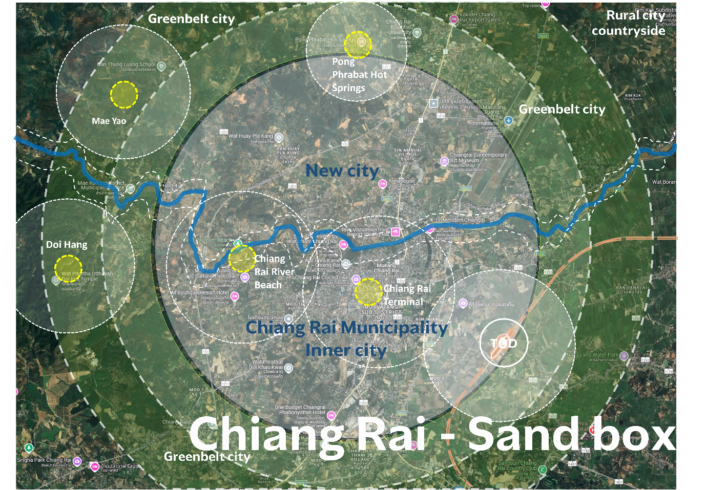
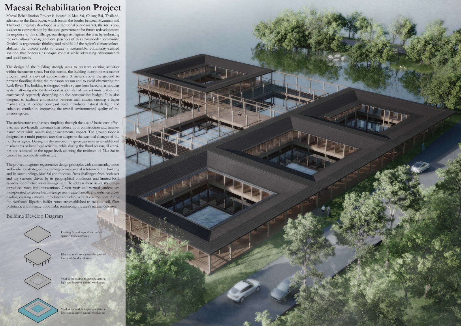
The Chiang Rai Sandbox, with Mae Sai as a pilot area, is a strategic initiative aimed at developing a resilient and sustainable “New City” model through integrated landscape planning, disaster risk management, and long-term urban restructuring.
read more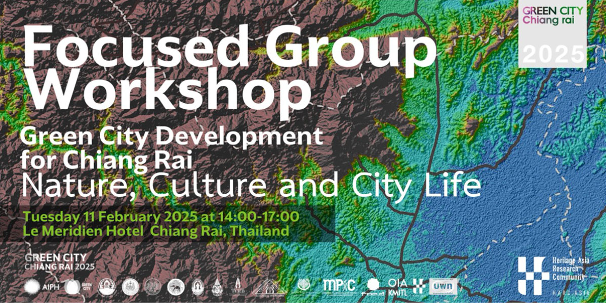
งานประชุม Green City Conference 2025: Nature, Culture, and City Life ณ โรงแรม Le Meridien Hotel จังหวัดเชียงราย
read more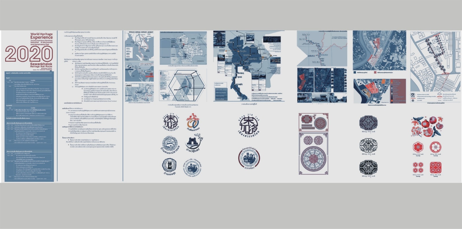
Development of a Cultural Practitioner Network for World Heritage Connectivity (WHE 2020 Sawankhalok Model : Sawankhalok Heritage Rail Route)
read more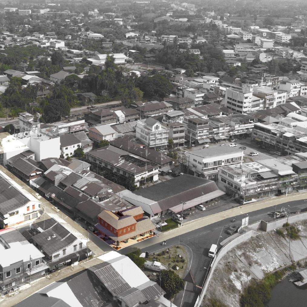
Sawankhalok, a historic district in Sukhothai Province, is evolving beyond its role as a gateway to World Heritage Sites. The Swan Sedz Space (SSS) project has been developed as a Community Hub that integrates heritage identity with modern, sustainable economic development.
read more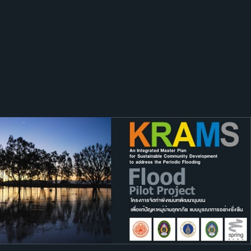
KRAMS is an integrated master planning initiative designed to strengthen community resilience and address the recurring impacts of periodic flooding in Thailand. The project focuses on sustainable solutions that connect spatial planning, infrastructure, agriculture, social systems, and local governance to improve long-term quality of life in flood-prone communities.
read more